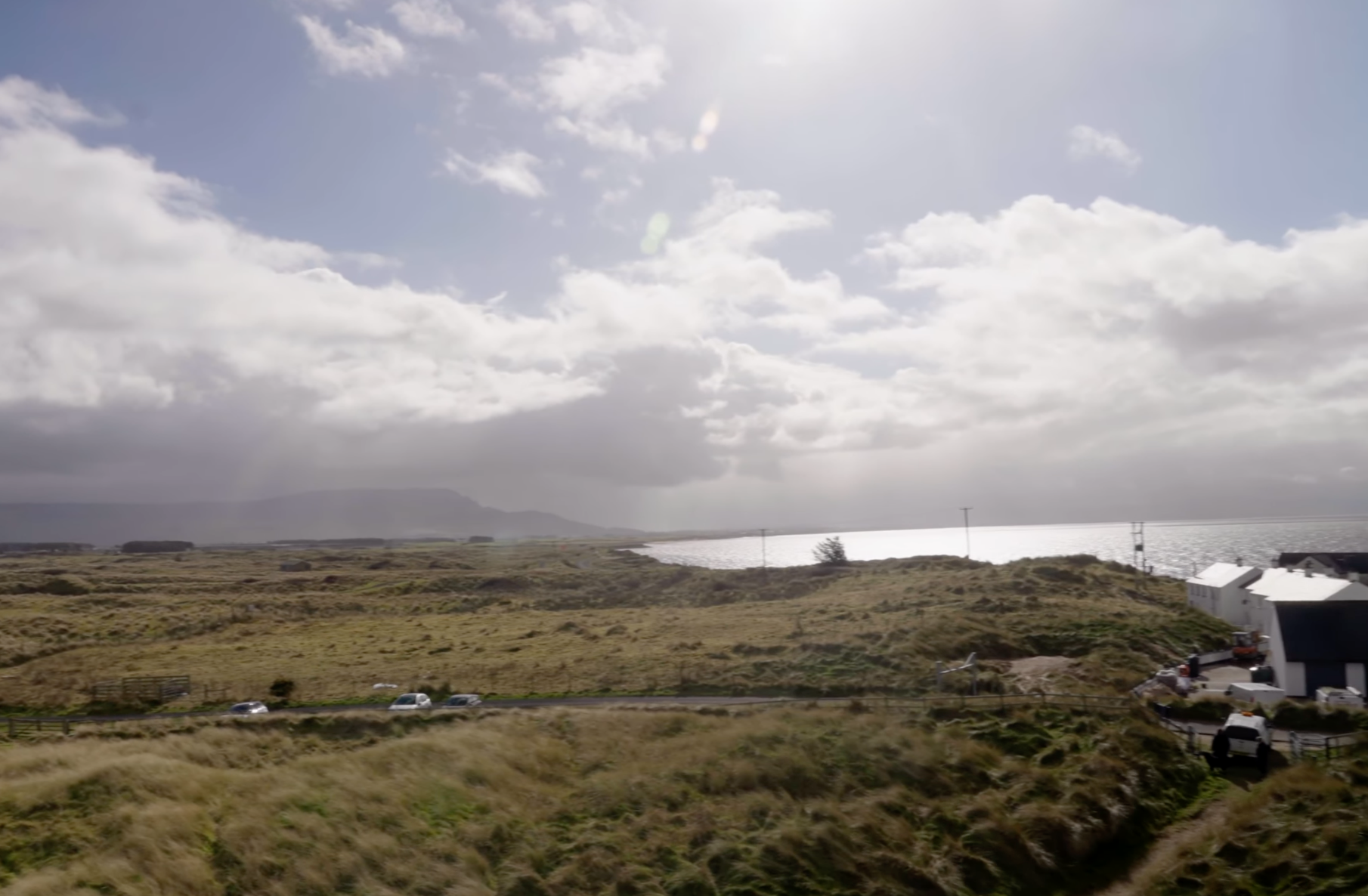
Mapping Monuments researched an area of historic landscape by Lough Foyle estuary on the North Atlantic coastline. The area is the location of pioneering Ordnance Survey of Ireland mapping work carried out in 1846. Volunteers worked with trusts, universities and museums to record and interpret material, using best practice techniques for mapping reshaped landscapes.